Chiswick homes at risk from surface water flooding
Dec 18, 2021
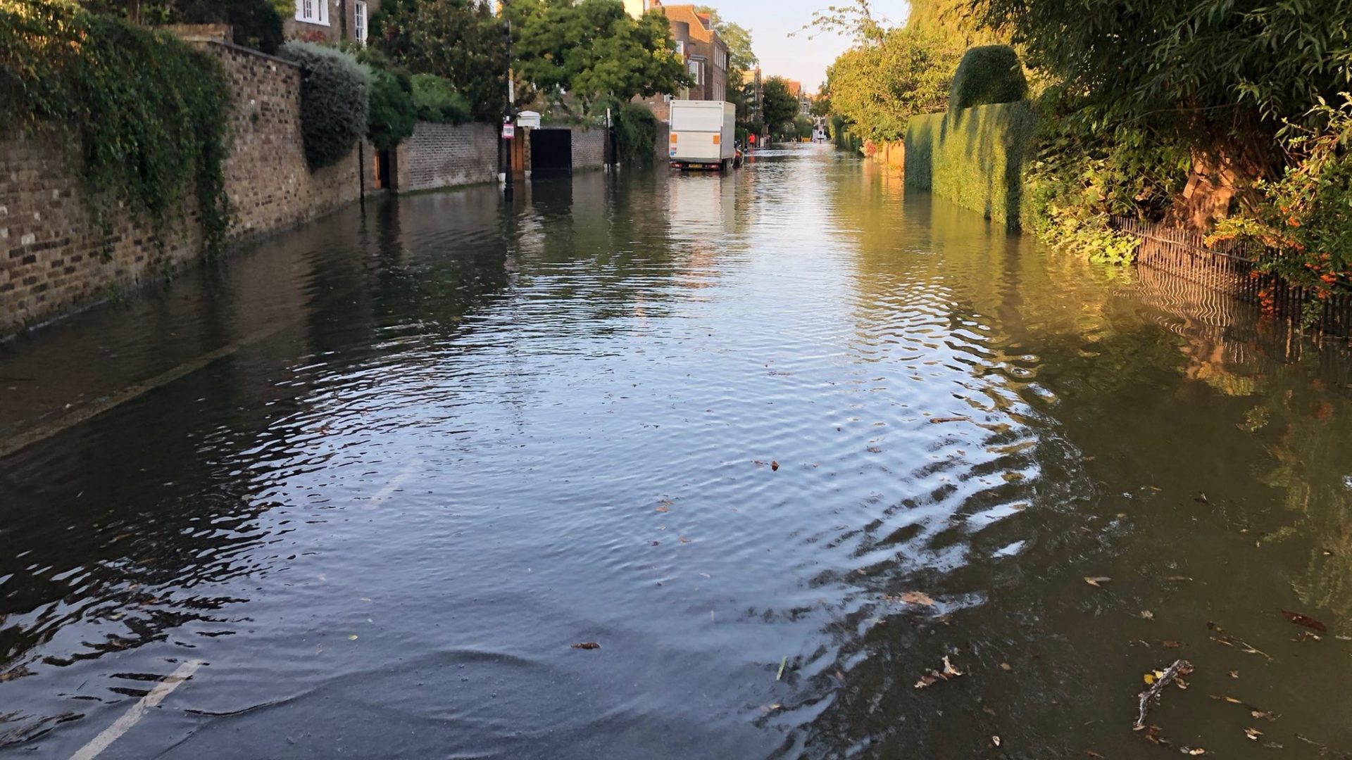
Hundreds of homes in Chiswick are at risk from surface water flooding according to an updated report 'Surface Water Management Plan' commissioned by London Borough of Hounslow.
As reported by news website ChiswickW4.com, the document aims to help the local authority understand the cause and effects of surface water flooding, otherwise known as flash flooding, and agree a plan to manage the long-term risk.
Surface water flooding occurs when short duration, intense rainfall cannot infiltrate below ground or enter drainage systems and runs overland. It is intensified when soils are saturated or in urban areas with impermeable ground.
IS YOUR PROPERTY AT RISK?
The excess water can pond at local low points and often form flow pathways along roads, built up areas or open spaces. When heavy rain falls, water will tend to flow down from the Bollo Lane area into Chiswick towards the Thames.
The borough is divided into a number of catchment areas to assess the risk of surface water flooding. The assessment by consultants Metis concludes that over 400 properties in Chiswick are at risk from a once in a century weather event with over 3,000 at risk from a once in a millennium event.
Most historic flooding occurs in the Grove Park area and one of the hot spots for risks identified is around Edensor Road where over 100 homes are considered vulnerable to a once in a century event. Most of the remaining incidents run along Chiswick High Road, Great Chertsey Road and Great West Road.
Read the full article here.
Surface Water Management Plan here.
Check the long term flood risk for an area here.
Photo: Twitter @KristiTange